when: 01 August 2022 - 30 September 2022 | venue: Northbridge Piazza | cost: Free event
This showcased event has concluded.
Expired
In addition to their scientific value, many satellite images are simply intriguing to look at. Satellites capture an incredible variety of views of Earth.
See the mesmerizing beauty of river deltas, mountains, and other sandy, salty, and icy landscapes. Some might even remind you of actual famous works of art!
The first Earth as Art collection, released in 2001, is made up of both land and cloud formations and even a giant geological formation. Landsat 7, which launched in 1999, was the artist for the original Earth As Art.
The Landsat program offers the longest continuous global record of the Earth's surface; it continues to deliver visually stunning and scientifically valuable images of our planet. This short video highlights Landsat's many benefits to society.
In 1975, NASA Administrator Dr. James Fletcher predicted that if one space age development would save the world, it would be Landsat and its successor satellites. Since the early 1970s, Landsat has continuously and consistently archived images of Earth; this unparalleled data archive gives scientist the ability to assess changes in Earth's landscape.
For over 40 years, the Landsat program has collected spectral information from Earth's surface, creating a historical archive unmatched in quality, detail, coverage, and length.
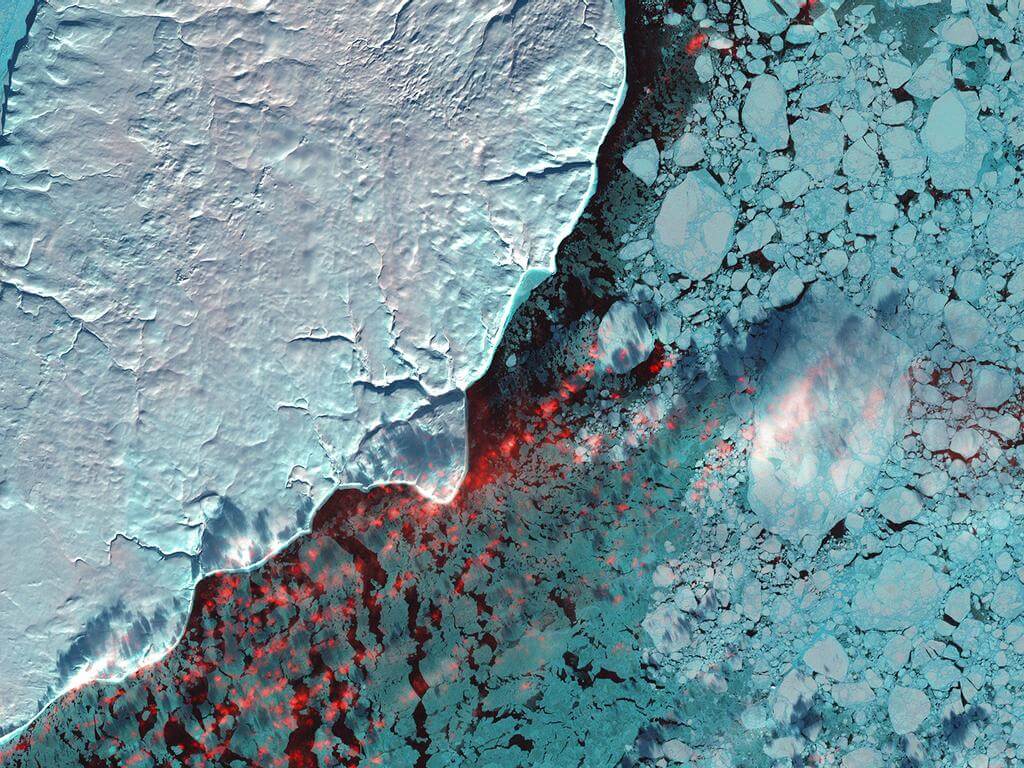
In Earth as Art, we display the Earth as our eyes cannot see it-in creative combinations of visible and infrared light. These unreal views of farmland, coastlines, and snowscapes remind us of the powerfully artistic qualities of Earth's land features.
Content from UpNext.com.au. Please don't scrape website.
In addition to their scientific value, many satellite images are simply intriguing to look at. Satellites capture an incredible variety of views of Earth.
See the mesmerizing beauty of river deltas, mountains, and other sandy, salty, and icy landscapes. Some might even remind you of actual famous works of art!
The first Earth as Art collection, released in 2001, is made up of both land and cloud formations and even a giant geological formation. Landsat 7, which launched in 1999, was the artist for the original Earth As Art.
The Landsat program offers the longest continuous global record of the Earth's surface; it continues to deliver visually stunning and scientifically valuable images of our planet. This short video highlights Landsat's many benefits to society.
In 1975, NASA Administrator Dr. James Fletcher predicted that if one space age development would save the world, it would be Landsat and its successor satellites. Since the early 1970s, Landsat has continuously and consistently archived images of Earth; this unparalleled data archive gives scientist the ability to assess changes in Earth's landscape.
For over 40 years, the Landsat program has collected spectral information from Earth's surface, creating a historical archive unmatched in quality, detail, coverage, and length.
In Earth as Art, we display the Earth as our eyes cannot see it-in creative combinations of visible and infrared light. These unreal views of farmland, coastlines, and snowscapes remind us of the powerfully artistic qualities of Earth's land features.
Go see Exhibitions on Screen: Earth as Art 2022.


